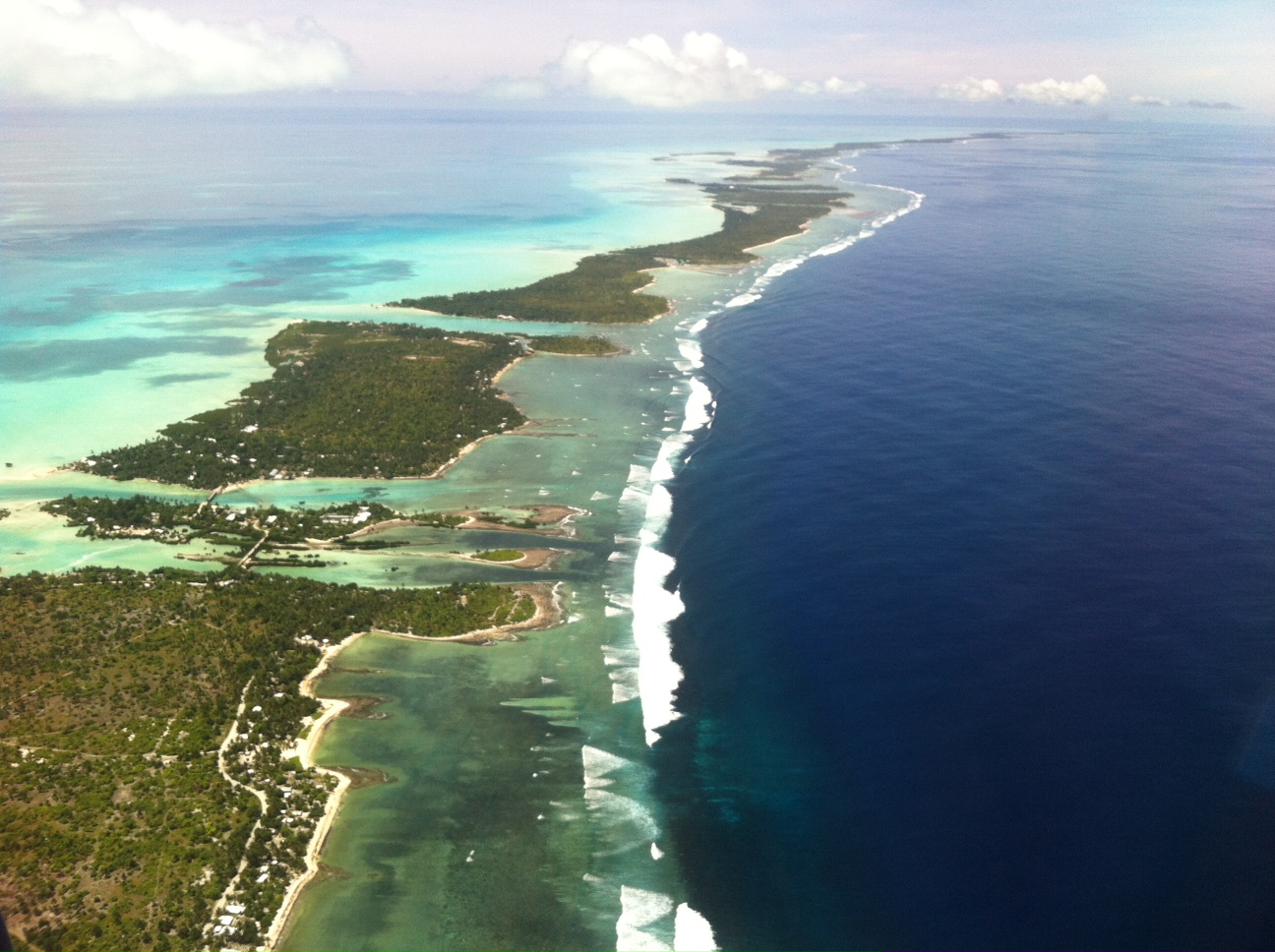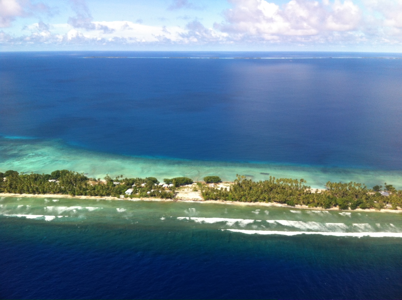
Majuro atoll, in the forefront and faintly in the background
There are a lot of different words to refer to this part of the world, like Oceania, Australasia, or simply the Pacific, but there are three distinct parts to the Pacific islands: Melanesia, Polynesia, and Micronesia. They don’t refer only to geographical separations, but also cultural and genetic differences between the islanders. Melanesia includes the countries furthest west and closest to Australia: Papua New Guinea, Solomon Islands, Vanuatu, New Caledonia and Fiji. Polynesia can be described as all the islands within the triangle between Hawaii, Easter Island, and New Zealand. Micronesia are all the North Pacific islands, including the country called The Federated States of Micronesia.

Majuro airport
My first stop in the North Pacific was the Marshall Islands. From then on, it was only Micronesian islands and the US dollar, despite there being different countries along the way. All of these islands were once peaceful, self-sufficient communities originating mainly from Asia, but during WWI and WWII, Japan, Germany and the USA ravaged the islands and their people as they fought for these strategic territories that they themselves had never even settled. The Marshall Islands probably got the worst of it, since they were not only bombed and invaded during the war, but heavily bombed with nuclear bomb tests after that. More than 60 nuclear bombs were dropped on Bikini atoll in the 10 years following WWII, islands where the local population had been removed and later returned to their super-polluted, nuclear contaminated, radioactive islands. The Marshallese still suffer from exposure 60 years later and haven’t been able to return to their homes.
And to make matters worse, the US hasn’t learned much from their mistakes, since they are now bombing the hell out of Kwajalein atoll, called a Ballistic missile defense test site. Although its not nuclear bombs, its still killing huge parts of the coral reef and marine ecosystems, and again they’ve displaced the local community from nearly the whole island, isolating them to just one atoll called Ebeye where the population density is worse than Manhattan. Neither locals nor tourists can visit any other part of Kwajalein unless you’re part of the US Military on task there, or one of their family members or an invited guest.

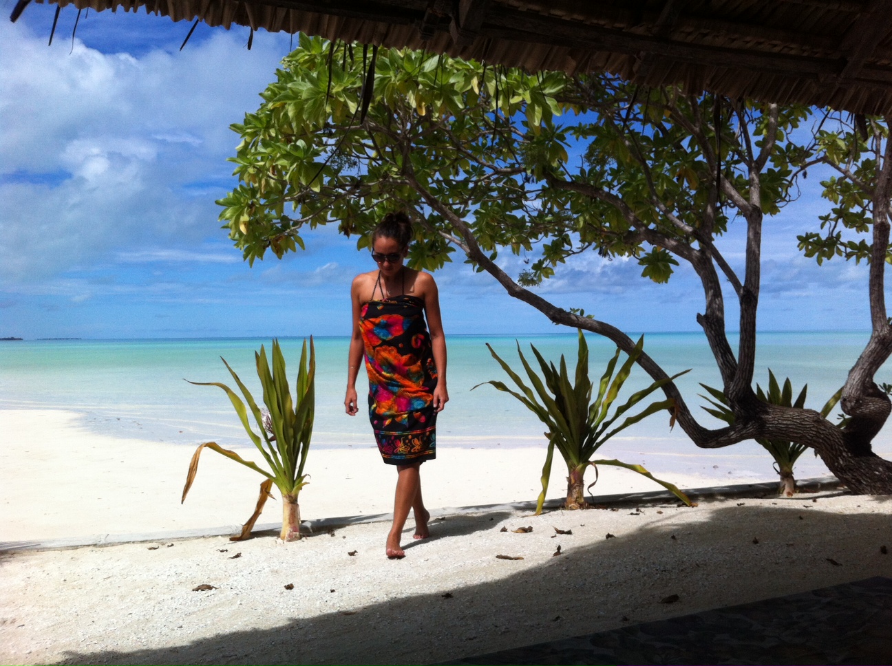
a hammock kinda day
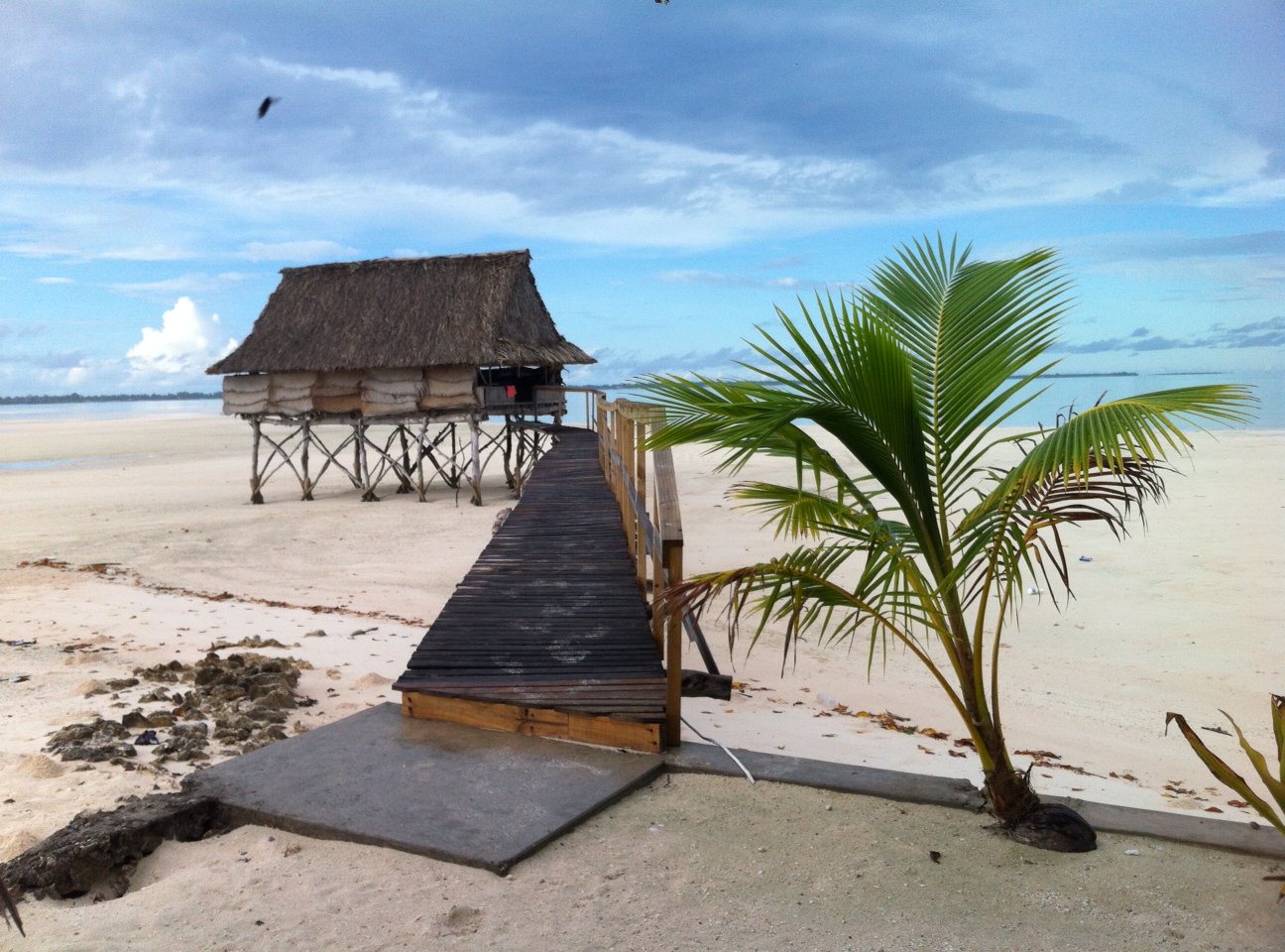
Aaaanyway, enough ranting… I loved Majuro atoll, the friendly, happy, bomb-free, locally inhabited part of the Marshall Islands. It’s a huge, broken up, u-shaped connection of atolls and islands, little spits of sand and coral sticking out of the sea, and traditional canoes sail alongside the fishing boats and private yachts in the space between them. I went to Eneko for a night, reachable from the capital city in about 15 minutes by speedboat. There me and a friend had the island to ourselves for $45 a night, including our private beach, some kayaks, a coral reef to snorkel, our wooden hut, an outdoor kitchen, the hammock and one nearly washed-away picnic table. Another night we camped at Laura beach, which isn’t a camp site but we hung a hammock and used the benches, but a drunken dumb and deaf guy came tearing through our camp a couple of times in the middle of the night, so it wasn’t quite as relaxing as Eneko.
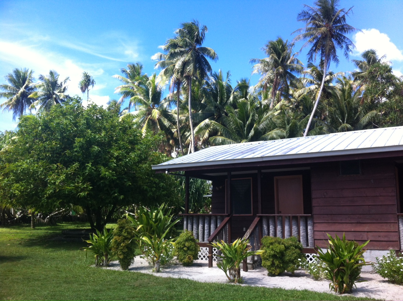
our beach hut at Eneko
If you make it to Majuro, there’s only one proper backpackers called Flametree Backpackers (and very affordable at $20US/night for a semi-private room). All your tourist things can be taken care of from the nearby Marshall Islands Resort, the Visitor’s authority tourist office in town, or the REE (Hotel Robert Reimers/ Robert Reimers Enterprises) docks. There are fully-stocked American style stores everywhere, it was cleaner and cheaper than many of the other islands, so Majuro comes highly recommended in my books.
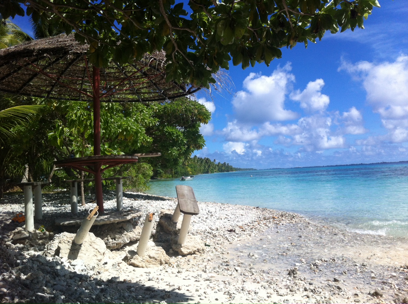
our half-standing picnic table
*For more information on the hydrogen bomb test and the US’ impact on Bikin island and the Marshallese people, read this article: www.theguardian.com/bikini-atoll-nuclear-test